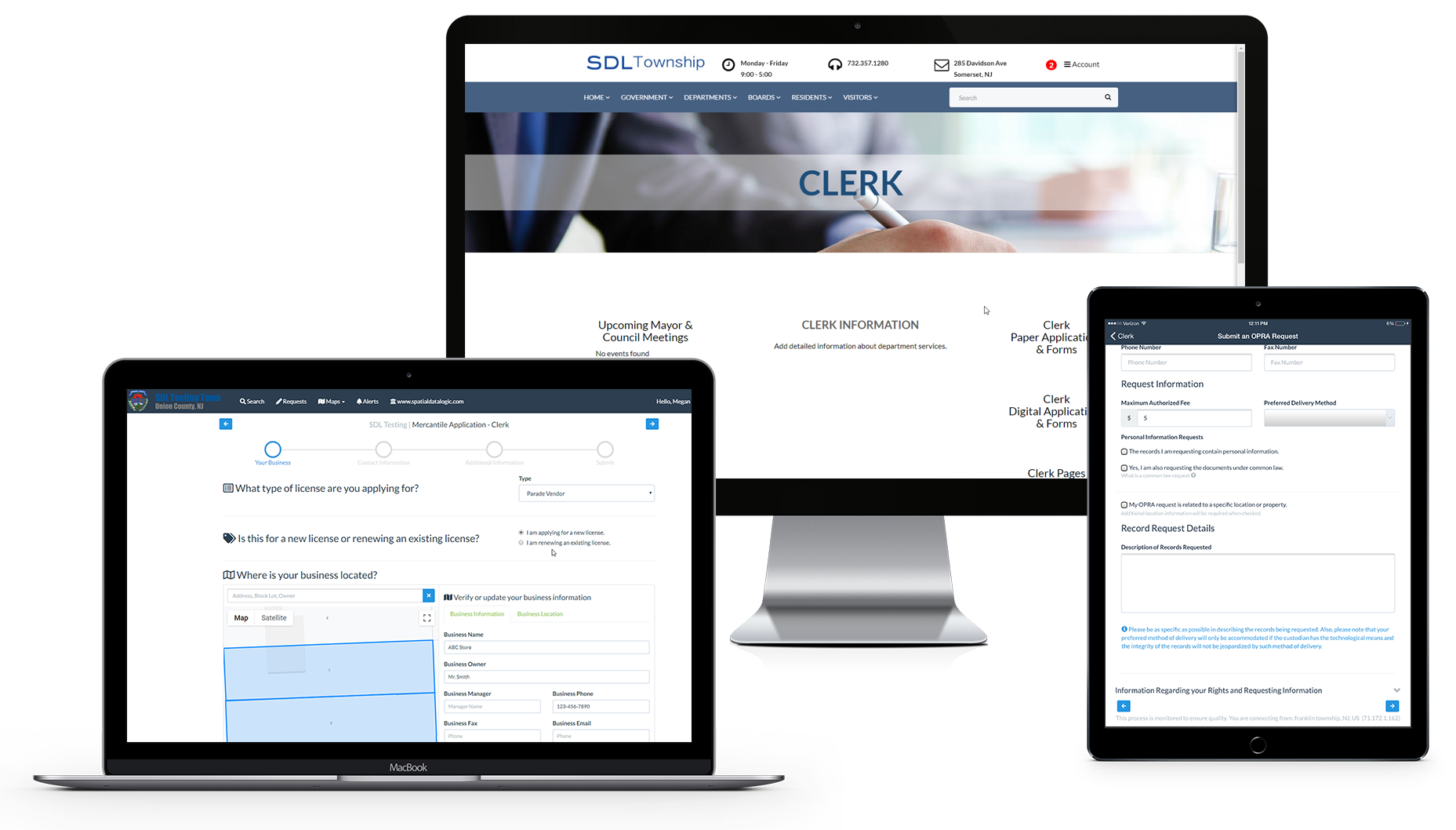
SOMERSET, NJ – Jun 24, 2003 – Somerset, New Jersey– Spatial Data Logic, Inc, a software development firm specializing in geographic information system (GIS) solutions for local government now offers GIS functionality through a Web-based interface to local governments in the Northeast. This functionality is based on ESRI’s ArcGIS architecture.
SDL is utilizing some simple, easy to use task focused ArcGIS capabilities through an applications based web based interface in its Geologic.NET ASP (Application Solution Provider) solution for local government. The GeoLogic.NET product is designed for workflow automation of local government. The service is expected to be available in the fourth quarter of 2003.
“ESRI is the world leader in GIS and its ArcGIS software defines the future of the GIS market. We believe that through our GeoLogic.NET, a new generation of Web-enabled solutions will make GIS functionality available to municipal desktops throughout the Northeastern United States.” said Jack Flood, Vice President of Spatial Data Logic. ” What makes the GeoLogic.NET solution possible is the ability to provide GIS services, utilizing distributed computing and Microsoft .NET technology, for work flow automation, such as permitting, land use policy, and utility infrastructure management, through the framework of web services.”
“We are pleased that Spatial Data Logic has chosen to utilize ESRI technology in their next generation of Web solutions,” says Andy Huntington, Developer Program Manager, ESRI Business Partner Program. “We believe their domain and delivery expertise combined with ESRI technology will provide an innovative offering to the local government market.”
About SDL
Spatial Data Logic (www.SpatialDataLogic.com) was founded to develop software solutions for local government that would integrate GIS into the normal everyday process of each department. The software will improve the level of service and responsiveness delivered to local citizens. The Geologic Software System, coined the “Everyday GIS”, and the Assessor Conversion Utility software products are installed in municipalities through out the State of New Jersey.
About ESRI
Founded in 1969, ESRI (www.esri.com) is the world leader in the GIS software industry. ESRI offers innovative solutions that help users create, manage, analyze, and display information to make timely decisions and solve problems they encounter every day. ESRI’s comprehensive product line ranges from desktop GIS to GIS for the enterprise.
ESRI, ArcGIS, and www.esri.com are trademarks, registered trademarks, or service marks of ESRI in the United States, the European Community, or certain other jurisdictions.
For more information, contact
Spatial Data Logic
Jack Flood
732-357-1280
This email address is being protected from spambots. You need JavaScript enabled to view it.

